Radar imaging for leak detection in water supply networks
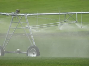
If we imagine the journey that drinking water makes from its catchment to our taps. This journey involves an intricate network of pipes, valves, pumps and distribution systems that work together to bring us the vital resource. However, this system is far from perfect, and this is where leaks come into play.
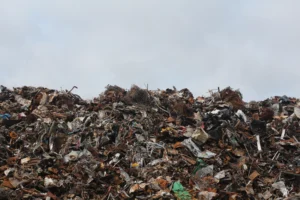
Water leakage problems waste a limited resource, increase economic costs, cause uneven distribution, damage infrastructure, affect water quality, have environmental impacts, and can pose risks to public health. Addressing this problem requires early detection, rapid repairs and infrastructure improvements.
Have you ever wondered how it is possible to identify leaks in supply networks without having to dig all over the place? Radar imaging is the answer and here’s how it works!
Meeting the Challenge with Signals and Analysis:
Detecting water leaks in water supply networks is a crucial challenge for the conservation of this vital resource. A solution that involves a combination of signal processing and image analysis techniques, and that’s where radar technology comes in!
How does Radar Imaging work?
Radar imaging allows accurate detection of areas with high soil moisture, which could indicate the presence of a subway water leak. Yes, you read that right! We’re talking about the ability to “see” underground without digging. In addition, radar interferometry techniques can measure small fluctuations in ground height, revealing possible changes caused by water leakage.
Intelligent Mapping and Continuous Monitoring
But that’s not all. Radar imagery is also a great tool for mapping the supply network and locating potential leaks at pipe connection points. This means that we are not only detecting leaks, but also preventing potential problems before they get worse.
Radar technology doesn’t just stop at initial detection. It can also be used to monitor supply networks over time. If changes in soil moisture occur, they could be a sign of an incipient leak. We’re talking about prevention in action.
The Radar Imaging Revolution
In this way, we envision a future in which our water supply networks are more efficient and resilient. Thanks to radar imaging, we are taking steps towards water conservation and sustainability in water resource management.
So the next time you see a satellite image on TV or online, remember that we are not only exploring space, but also revolutionizing the way we keep our world running! Until next time, dear colleagues!