Solutions powered by artificial intelligence and satellite imagery that provide global, neutral, and accurate information for decision-making in a fluid reality.
In a fluid—almost gaseous—reality, organizations need scientifically rigorous data to make decisions that impact resilience and competitiveness.
Traditionally, “capital” has been a term linked to economics. This is partially true. Cities are composed of multiple interconnected assets (capitals): natural, human, social, intangible, and climate. Do you know how it affects your bottom line?
Now, yes. A tool that understands the full value of your organization.
Territorial intelligence
GovTech
Building a new city model through satellite technology
“What you can’t see doesn’t exist.” Even today, many organizations still advocate this sophistical maxim. However, there is no denying that the operating environment has an impact on profitability. At Agforest, we use innovation and cutting-edge technology to analyze ecosystems and identify the risks that organizations around the world face.
We combine artificial intelligence (AI) with satellite imagery. We reach places the human eye cannot see. The power of real-time data, with global reach and without bias. The data revolution.
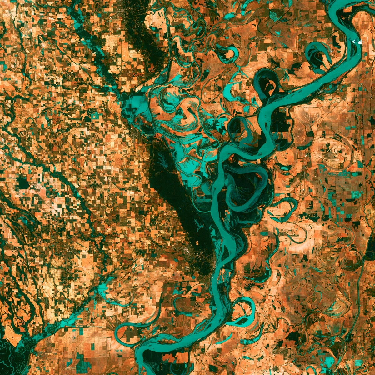
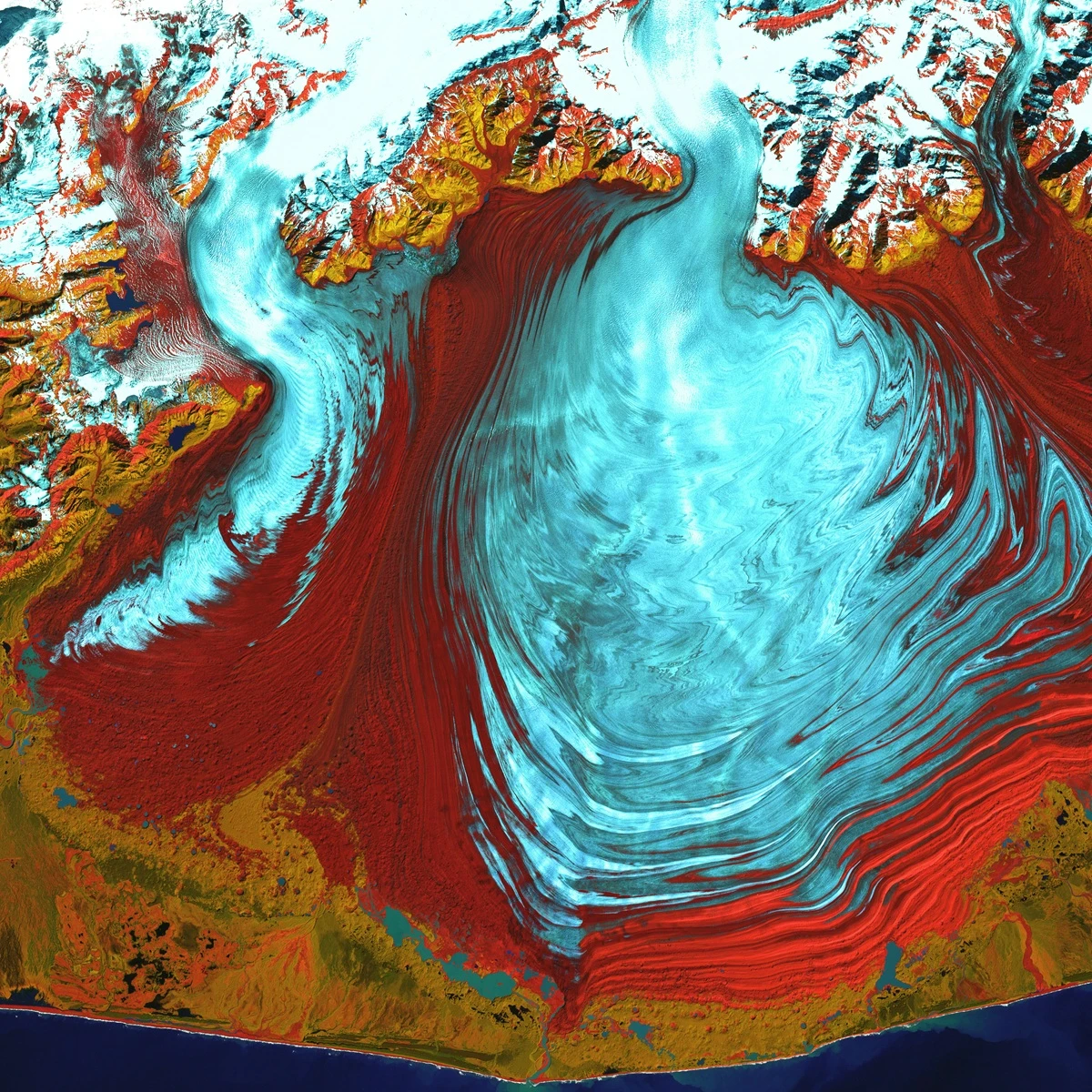
NIR (Near Infrared) Band
The NIR band allows key indices to be calculated to assess photosynthetic activity and plant health, and to detect stress or disease in vegetation.
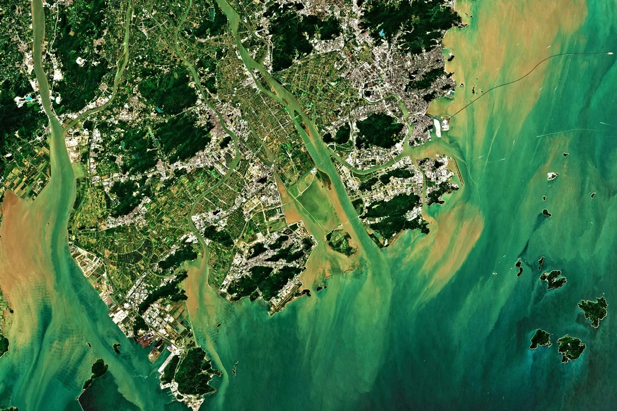
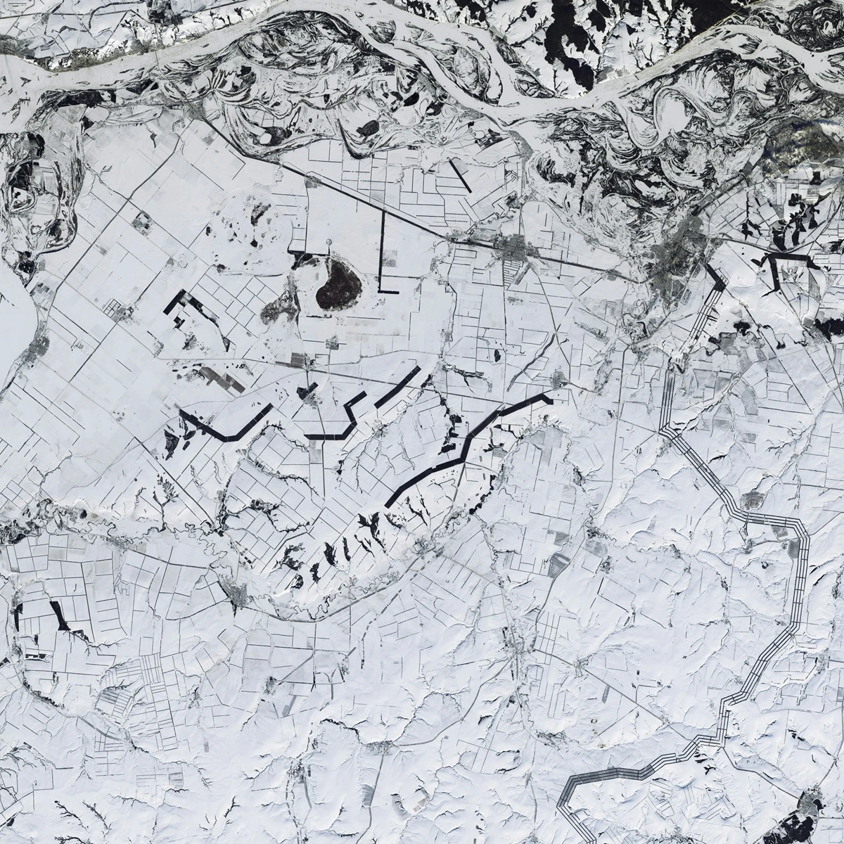
Open missions
Open satellite missions (Copernicus, Landsat, MODIS, etc.) offer continuous monitoring of the territory with revisit frequencies between 2 and 6 days, depending on the sensor.
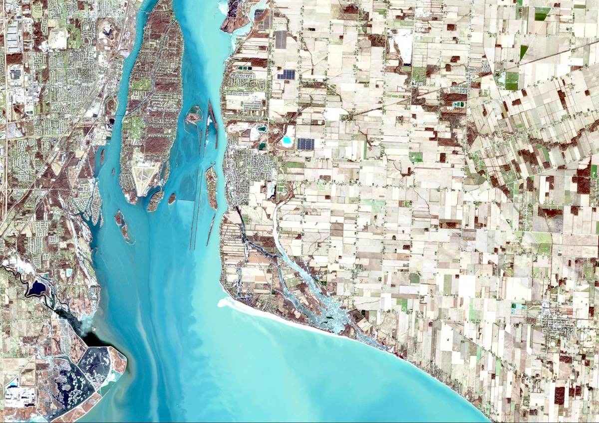
Very High Resolution (VHR) Images
On-demand VHR images reach up to 15 cm/pixel and 8 spectral bands, ideal for high-precision urban analysis.
LST (Land Surface Temperature)
The LST measures the temperature at the Earth's surface and allows for the analysis of urban warming and thermal evolution on a local scale.
Radar data (SAR and InSAR)
Radar technology allows us to penetrate the surface and detect ground movements with millimeter precision.
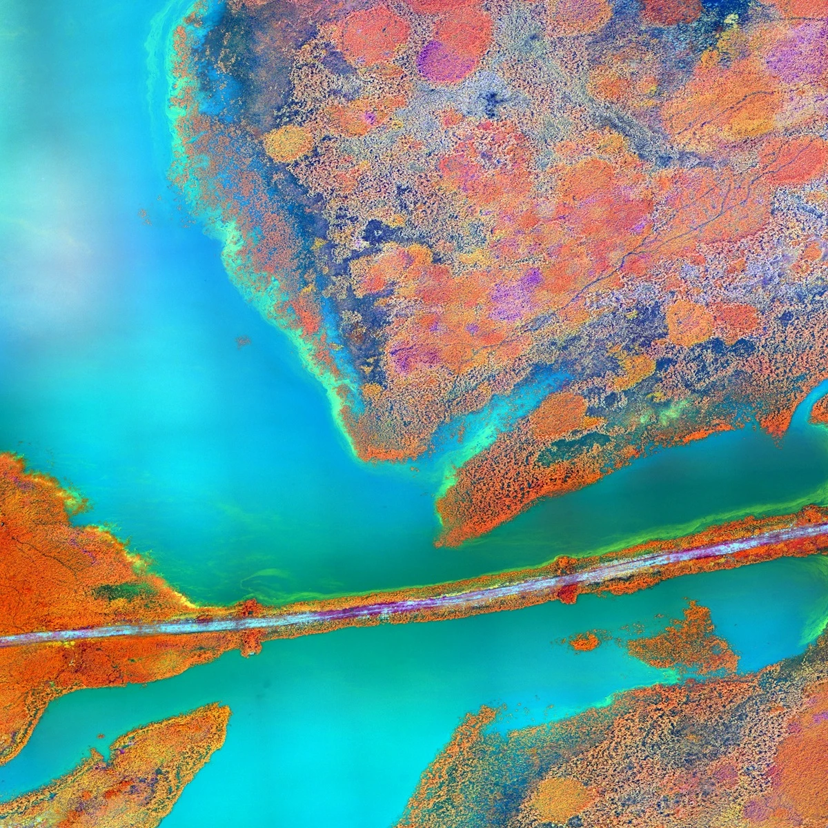
Multispectral and hyperspectral images
They allow materials beyond the visible spectrum, such as hydrocarbons or asbestos, to be identified thanks to their specific spectral signature.
Radar data (SAR and InSAR)
Radar technology allows us to penetrate the surface and detect ground movements with millimeter precision.
Multispectral and hyperspectral images
They allow materials beyond the visible spectrum, such as hydrocarbons or asbestos, to be identified thanks to their specific spectral signature.
LST (Land Surface Temperature)
The LST measures the temperature at the Earth's surface and allows for the analysis of urban warming and thermal evolution on a local scale.
We are young; not inexperienced
Agforest is a movement with a clear purpose: to promote data governance in order to build livable cities. We know that experience counts. Don’t know us yet? Let us show you in our own way, with data:
+0
projects
In just three years, Agforest has successfully developed more than 150 projects related to urban management.
+0K
lines of code
Agforest professionals have worked on more than 100,000 lines of code for the development of geospatial AI models.
+0%
satisfaction
All Agforest customers have been satisfied and consider that the results obtained meet their needs.
Para ofrecer las mejores experiencias, utilizamos tecnologías como las cookies para almacenar y/o acceder a la información del dispositivo. El consentimiento de estas tecnologías nos permitirá procesar datos como el comportamiento de navegación o las identificaciones únicas en este sitio. No consentir o retirar el consentimiento, puede afectar negativamente a ciertas características y funciones.
Funcional
Always active
El almacenamiento o acceso técnico es estrictamente necesario para el propósito legítimo de permitir el uso de un servicio específico explícitamente solicitado por el abonado o usuario, o con el único propósito de llevar a cabo la transmisión de una comunicación a través de una red de comunicaciones electrónicas.
Preferencias
El almacenamiento o acceso técnico es necesario para la finalidad legítima de almacenar preferencias no solicitadas por el abonado o usuario.
Estadísticas
El almacenamiento o acceso técnico que es utilizado exclusivamente con fines estadísticos.El almacenamiento o acceso técnico que se utiliza exclusivamente con fines estadísticos anónimos. Sin un requerimiento, el cumplimiento voluntario por parte de tu proveedor de servicios de Internet, o los registros adicionales de un tercero, la información almacenada o recuperada sólo para este propósito no se puede utilizar para identificarte.
Marketing
El almacenamiento o acceso técnico es necesario para crear perfiles de usuario para enviar publicidad, o para rastrear al usuario en una web o en varias web con fines de marketing similares.