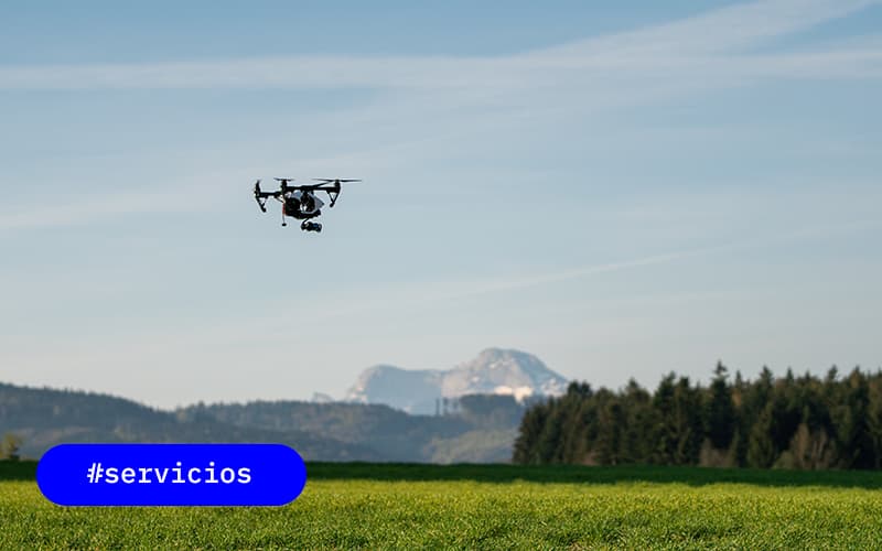
In the era of precision agriculture, the use of space technology has revolutionized the way we understand and manage our fields. The advantages between two technological tools are often debated: drones and satellites. Both offer valuable insights, but which is emerging as the top choice for optimizing agricultural productivity?
Drones for field observation
Drones have introduced significant advances in agriculture by providing advanced tools for crop management and decision making.
Today, its integration into agricultural management systems has greatly reduced the time required for planning and data analysis, and facilitates the export of information to other equipment, such as fumigation systems.
One of the most notable advantages of drones in agriculture is their ability to capture high-resolution images. Although they cannot collect samples like a human would, they are efficient at determining which specific areas of the field might need more attention, thus optimizing the crop inspection rather than blindly sweeping the field.
The low-altitude flight of drones allows data capture even on cloudy days, overcoming the limitations sometimes experienced by satellites. In addition, its ability to fly in adverse weather conditions helps speed up processes.
In the field of crop mapping, drones can perform detailed mapping that provides vital information on crop health, vegetation density and early detection of possible diseases or pests. This multispectral analysis capability allows farmers to identify specific problems in particular areas, leading to more precise application of treatments and resource optimization.
In addition, they play a crucial role in sowing planning and fertilizer application, contributing to a more precise and efficient distribution of these resources.
However, there are also some disadvantages and limitations that should be taken into account, such as:
The need for post-processing of images, vulnerability to adverse weather conditions, limited autonomy and specific regulations in some countries are important considerations.
The economic aspect is also a relevant consideration, since the cost of acquiring drones, as well as their accessories such as sensors and specialized cameras, can be high.
Differences between Drones and Satellites
Both drones and satellites play unique roles in agriculture, each with specific advantages based on the needs and scale of agricultural operations.
The choice between the two depends on certain factors such as the precision required, the size of the area to be covered and the frequency of observation necessary for effective agricultural management.
Satellite imagery offers a global view of the terrain, as satellites can capture images of vast expanses, providing a useful overview in situations where exhaustive detail is not required.
In addition, satellites stand out for their ability to obtain high-resolution multispectral data. Thanks to a variety of specialized sensors, satellites can capture detailed information over different wavelengths, allowing for deeper analysis of crop health and soil quality.
This, combined with the ability to collect large amounts of data in a short time from anywhere in the world, highlights the versatility of satellites in providing essential information for long-term agricultural decision-making.
On the other hand, the use of drones in agriculture stands out when a close and detailed view of specific areas is needed.
Drones can capture high-resolution images at very close distances, being essential to accurately visualize what is happening on the ground and facilitate informed decision-making at the local level.
Difference Between Aerial Photography and Satellite Image
While aerial photography provides detail and flexibility in specific areas, satellite images offer a global perspective and are ideal for large-scale analysis.
The strategic combination of both tools can provide a complete and detailed view of the geographical environment.
Satellite images, captured by satellites such as Sentinel 2, represent an essential tool with multiple applications, with agriculture being one of the most benefited fields.
These images not only allow us to monitor crops in real time, but also offer the advantage of having a historical record for several years.
On the other hand, the advantage of aerial photography is its ability to obtain detailed, high-resolution images at close distances. This allows detailed viewing of specific areas and is valuable for applications requiring very high resolution, such as detailed inspection of crops or monitoring small plots of land.
When comparing aerial photographs and satellite images for agriculture, it is important to consider the following aspects:
- Associated costs: Total expenses, including acquisition, processing and maintenance.
- Spectral bands: Identify the specific spectral bands required to obtain the necessary information about crops.
- Spatial resolution: The sharpness and level of detail offered by the image, important for detecting specific characteristics of the field.
- Bad Weather Capability: The ability to obtain quality images even in adverse weather conditions.
- Files and data management: The ease of storing, accessing and processing the data collected for analysis and decision making.


0 Comments