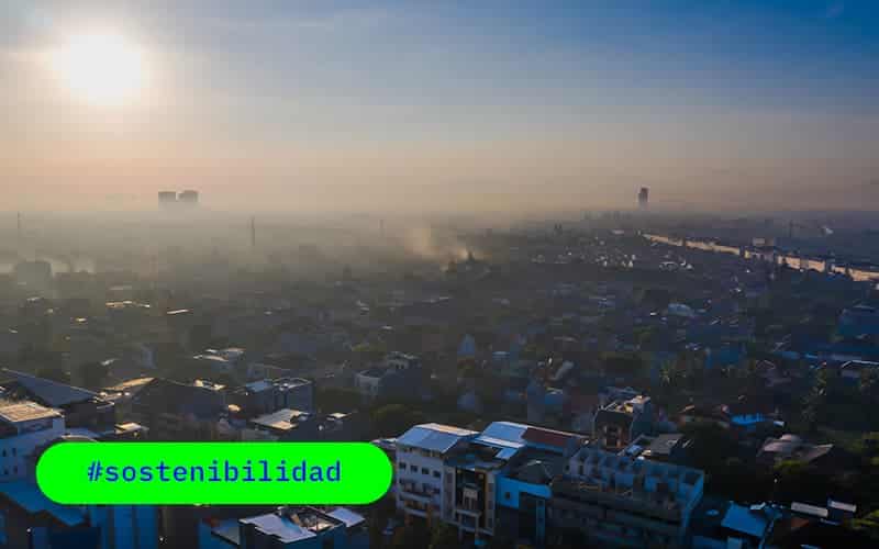
At agforest , we are committed to innovation and sustainability, and in this blog post, we explain how our satellite-based geospatial technology revolutionizes air quality monitoring in Spain.
We will delve into current regulations, the challenges and how our solutions take advantage of advanced satellite technology to provide accurate and accessible data on air quality throughout the national territory.
Regulations and commitments
In Spain, local entities have the responsibility of complying with European and national regulations related to air quality. Directives such as 2008/50/EC and decrees such as 102/2011 establish clear obligations, from the measurement of contaminants to the dissemination of results.
Not only do we meet these standards, but we go further by using satellite technology for comprehensive monitoring.
Measurement method and technology used
Traditional measuring stations have limitations in terms of location and number, making accurate assessment of air quality difficult.
At our company, we have overcome these challenges by developing a web map that uses data from the TROPOMI sensor on board the Sentinel 5-Precursor satellite. This spectrometer, launched in 2017, detects a wide range of air pollutants, providing high-resolution data at the national level.
Operating mode
Sensor TROPOMI
- Full Spectrum : TROPOMI is a spectrometer that covers ultraviolet, visible, near infrared and short wavelength radiation. This allows monitoring of a wide range of atmospheric pollutants.
- Detected Gases : Ozone, methane, formaldehyde, aerosols, carbon monoxide, NO2 and SO2 are some of the gases that TROPOMI can accurately identify.
Spatial resolution
With a spatial resolution of 1 km², each pixel in the images represents an area equivalent to approximately 100 football fields. This significantly exceeds the representation of conventional local stations.
Machine Learning for Interpretation
Our measurement method uses Machine Learning methodologies to correlate satellite data with climate and dispersion variables. This ensures accurate and reliable air quality measurements.
Advantages of our technology
While local stations may have limited representation, our satellite data covers the entire Spanish territory with a spatial resolution of 1km², providing fine detail.
In comparison, the analysis of the Ministry of Transport, Mobility and Urban Agenda indicates that conventional stations could fall short even if their number increases.
We overcome these limitations, offering a complete and detailed perspective.
Commitment to Air Quality
At agforest, we not only focus on complying with regulations, but we also contribute to the development of air quality improvement plans in collaboration with local authorities.
Our satellite technology not only reports air quality, but also drives informed decision making to protect human health and the environment.

As a summary, we lead the vanguard in air quality monitoring in Spain through the use of advanced satellite technology.
Our commitment to accuracy, accessibility and collaboration with local authorities positions us as a key player in the continuous improvement of air quality.
Stay connected with us to continue discovering how innovation and sustainability converge for a cleaner, healthier future.


0 Comments